
Beyond Forestry
While forestry is the primary focus, the same drone-AI approach can support related vegetation, infrastructure, and land-management workflows.

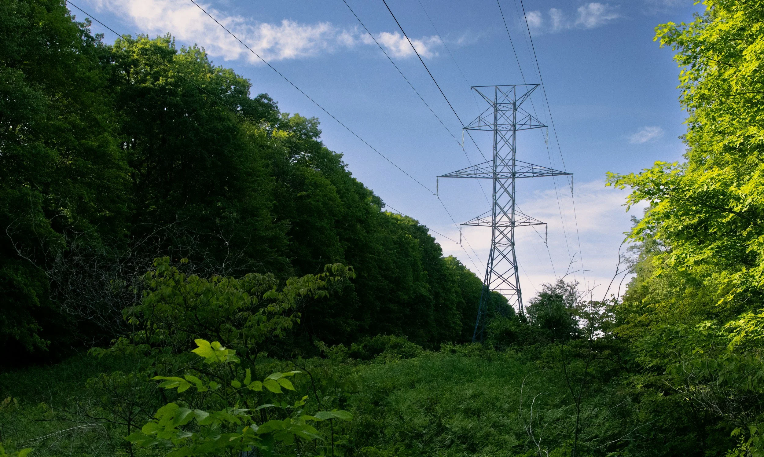
Utility Corridor Inspection
Powerline and infrastructure corridors require ongoing vegetation monitoring, risk review, and maintenance planning. Drone-AI analytics can support corridor condition assessments by helping identify vegetation encroachment, access concerns, clearance issues, and priority maintenance areas.
Best fit for: utilities, contractors, vegetation-management teams, and infrastructure operators responsible for right-of-way maintenance.
Potential applications:
Vegetation encroachment review
Corridor condition documentation
Clearance-support workflows
Maintenance prioritization
Before-and-after contractor verification
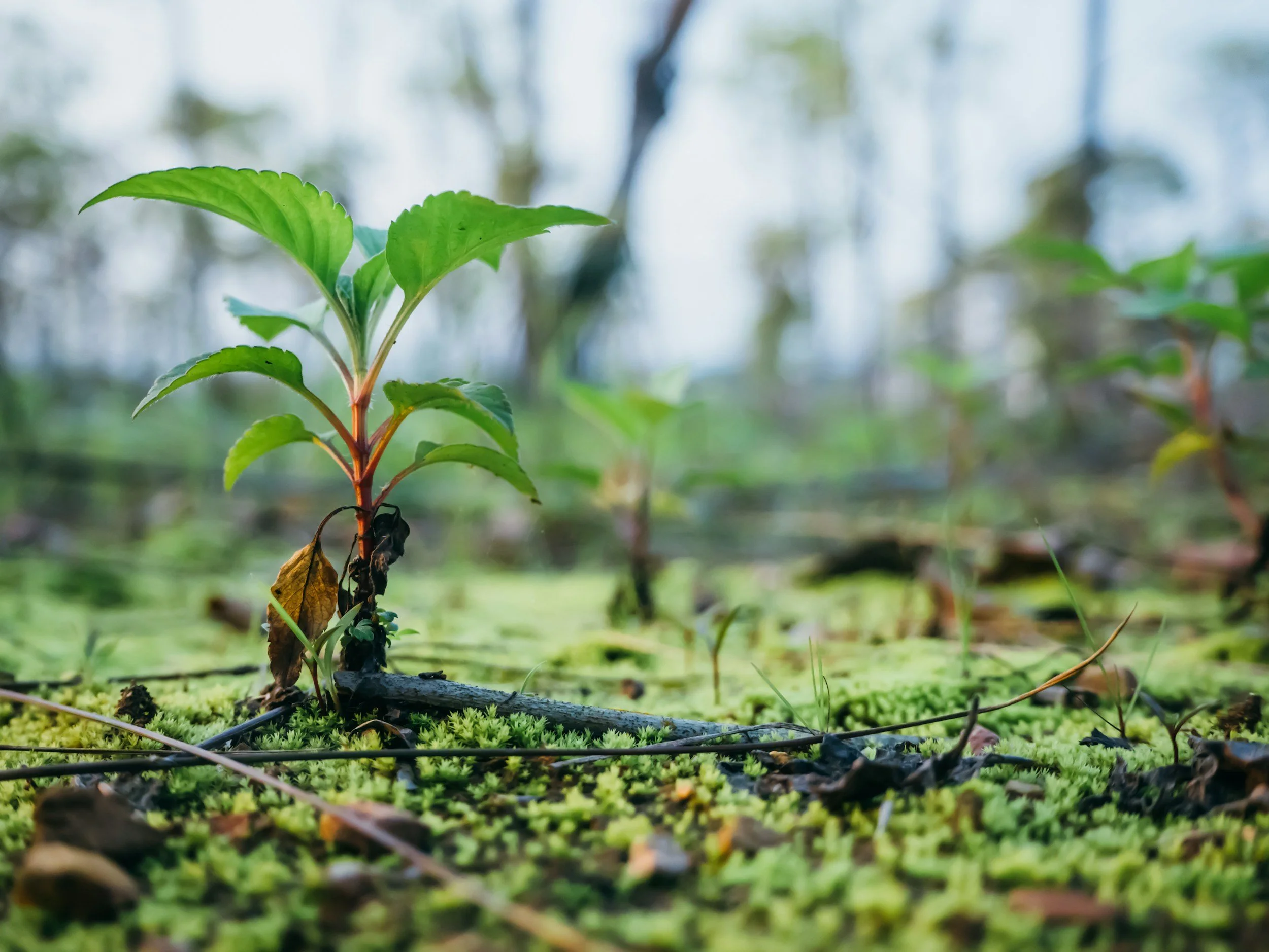
Vegetation Management & Land Monitoring
Drone-AI analytics can also support broader land-management workflows where vegetation change, site condition, or environmental documentation matters.
This can include monitoring treatment areas, reviewing restoration sites, documenting land-use changes, tracking vegetation recovery, or creating repeatable visual records for planning and reporting.
Best fit for: land managers, environmental consultants, municipalities, resource companies, and organizations managing large or remote properties.
Potential applications:
Vegetation change detection
Treatment-area documentation
Site condition monitoring
Restoration or reclamation tracking
GIS-ready reporting outputs
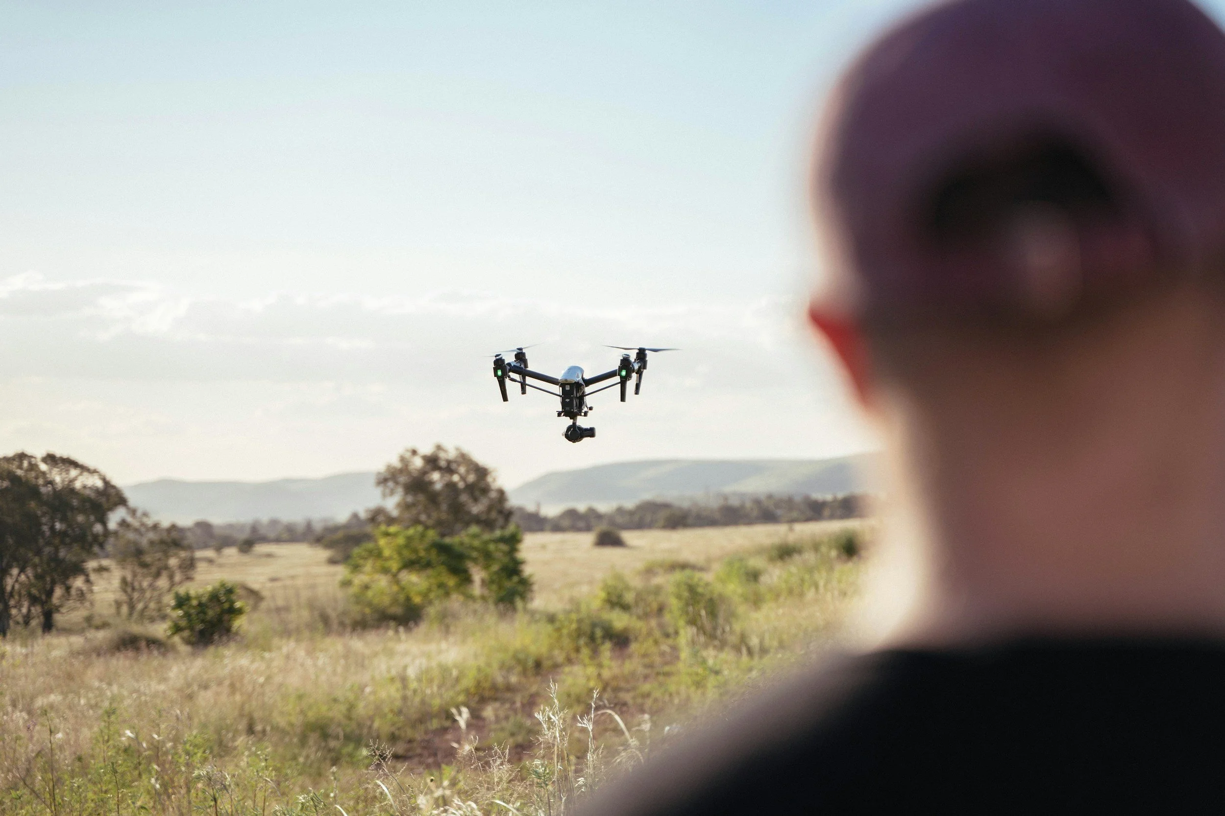
Drone Service Provider Enablement
Many drone service providers already capture high-quality imagery, but clients increasingly want more than photos or orthomosaics. They want outputs that support decisions.
Canopy Dynamix helps drone service providers understand how AI-powered analytics can become a value-added offering, turning standard drone capture into forestry, vegetation, corridor, and land-management deliverables.
Best fit for: drone service providers looking to expand beyond imagery capture and offer higher-value analytical outputs.
Potential applications:
Add analytics-backed deliverables
Support forestry and utility clients
Improve proposal language and use-case positioning
Connect imagery capture with decision-ready reporting
Build recurring service opportunities
Not sure where your use case fits?
Canopy Dynamix can help you talk through the operational problem, identify whether drone-AI analytics makes sense, and connect the right workflow to the right outcome.