
Operational Challenges
Where Traditional Workflows Become Difficult to Scale
Forestry, utility, and land-management teams often work across large, variable, and difficult-to-access areas. The challenge is rarely a lack of information. It is obtaining current, consistent, and usable information at the right level of detail, without adding unnecessary field time, travel, or administrative work.
Drone-AI analytics can help address the recurring operational challenges that make planning, monitoring, documentation, and treatment decisions more difficult.
Fieldwork Becomes Expensive to Scale
Field inspections remain essential, but the cost rises quickly when teams must cover large blocks, remote properties, or long linear corridors.
Travel, access, accommodation, field time, safety planning, and repeated mobilization can make routine monitoring disproportionately expensive. Skilled personnel may spend much of their day travelling between locations or searching for the areas that require closer attention.
The challenge is not eliminating fieldwork. It is ensuring that field crews spend their time where professional observation and judgment provide the greatest value.
Relevant workflows: post-harvest verification, stocking surveys, free-to-grow screening, damage assessment, and utility corridor monitoring.
Sample Plots Can Miss Where Conditions Change
Field sampling provides important and defensible information, but it represents selected locations within a much larger area.
A stand-level average may appear acceptable while concealing meaningful variation between plots, including:
Dense pockets
Understocked areas
Regeneration gaps
Heavy vegetation competition
Localized damage
Areas that may not require treatment
The operational challenge is understanding not only the average condition, but also where conditions change and where action is most likely to be required.
Relevant workflows: young stand density mapping, sapling monitoring, reforestation monitoring, and treatment planning.
See how aerial analytics support broader stand visibility →
Existing Imagery Becomes Outdated Quickly
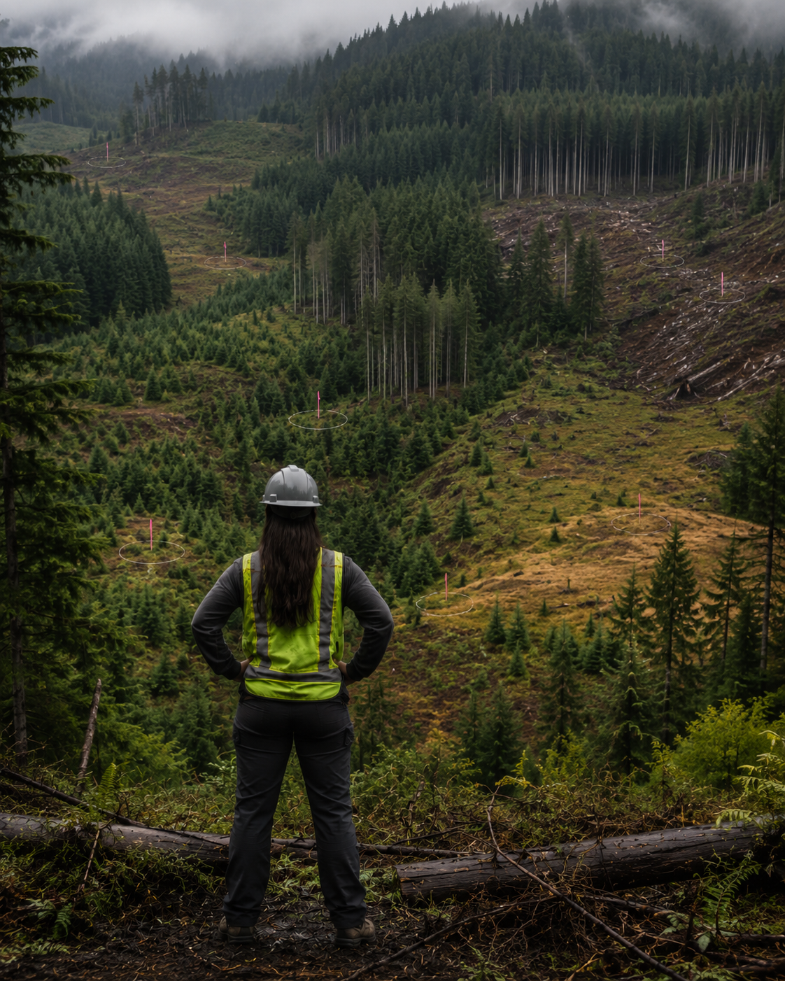
Forestry and land conditions can change faster than mapping and inventory records are updated.
Harvesting, storms, road construction, vegetation growth, fire, windthrow, and other disturbances can make existing orthophotos, satellite imagery, and GIS layers less representative of current conditions.
When planning teams rely on outdated imagery, unexpected conditions may not be discovered until crews are already in the field or contractors have begun mobilizing.
Current aerial imagery can provide a more timely visual record for planning, documentation, and comparison.
Relevant workflows: pre-harvest planning, post-harvest documentation, damage assessment, and corridor monitoring.
Explore workflows that benefit from current imagery →
Operational Information Is Often Disconnected
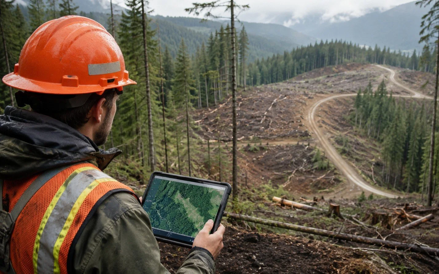
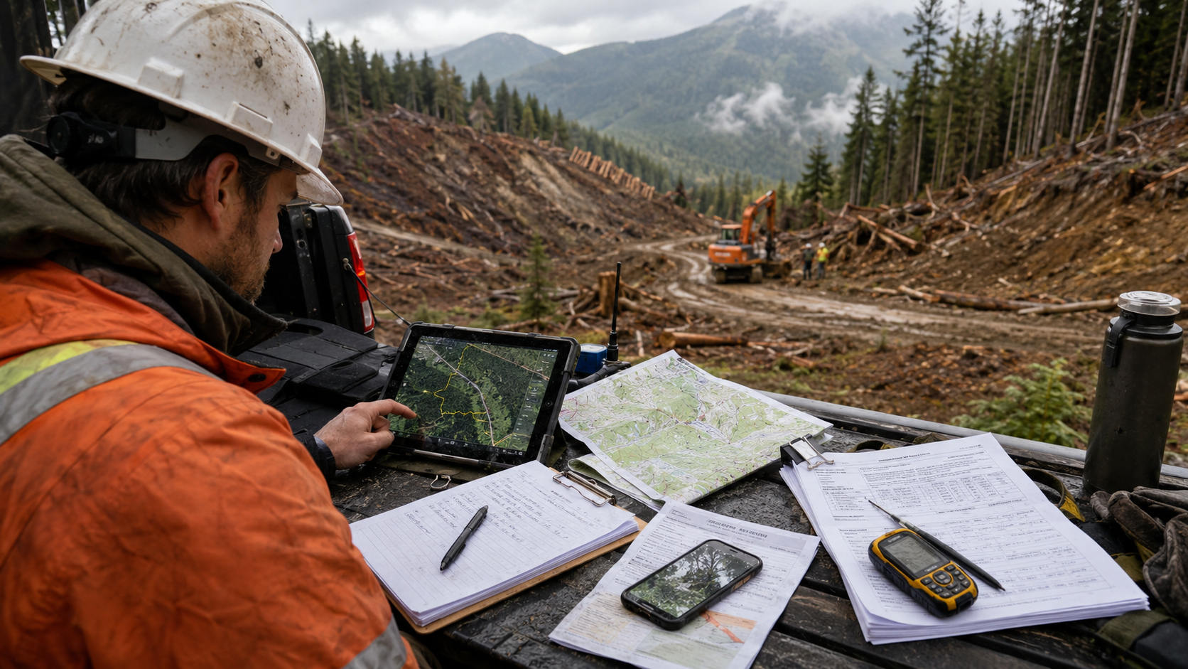
GPS tracks, photographs, field notes, contractor reports, maps, imagery, and GIS files may be collected by different people and stored in different systems.
This makes it harder to answer practical questions:
What happened?
Where did it happen?
What changed?
What still requires attention?
Was the work completed as expected?
When information is disconnected, teams may spend significant time locating records, reconciling conflicting observations, and rebuilding the operational picture before a decision can be made.
A consistent, georeferenced dataset can create a clearer connection between field conditions, mapped locations, and follow-up actions.
Relevant workflows: contractor verification, post-harvest closeout, land monitoring, and utility vegetation management.
See how drone imagery can become decision-ready documentation →
Treatment Scopes Can Be Broader Than Necessary
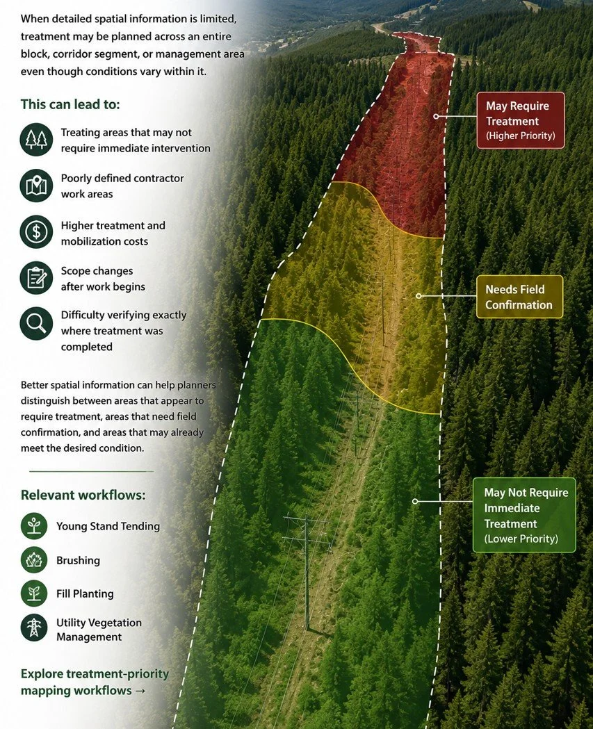
When detailed spatial information is limited, treatment may be planned across an entire block, corridor segment, or management area even though conditions vary within it.
This can lead to:
Treating areas that may not require immediate intervention
Poorly defined contractor work areas
Higher treatment and mobilization costs
Scope changes after work begins
Difficulty verifying exactly where treatment was completed
Better spatial information can help planners distinguish between areas that appear to require treatment, areas that need field confirmation, and areas that may already meet the desired condition.
Relevant workflows: young stand tending, brushing, fill planting, and utility vegetation management.
Explore treatment-priority mapping workflows →
Raw Imagery Does Not Automatically Support Decisions
Many organizations already collect drone imagery, satellite imagery, orthomosaics, or other aerial data.
The challenge often comes afterward.
A large collection of images does not automatically tell a forestry or utility team:
How many visible trees or saplings are present
Where density changes across the site
Which areas may require treatment
Where damage is concentrated
What has changed since the previous inspection
How the findings should be delivered into GIS or planning workflows
The operational value comes from turning aerial imagery into organized maps, measurements, priority areas, and reporting outputs that support a specific decision.
Relevant workflows: forestry analytics, corridor management, land monitoring, and drone service provider enablement.
See how aerial data becomes operational intelligence →
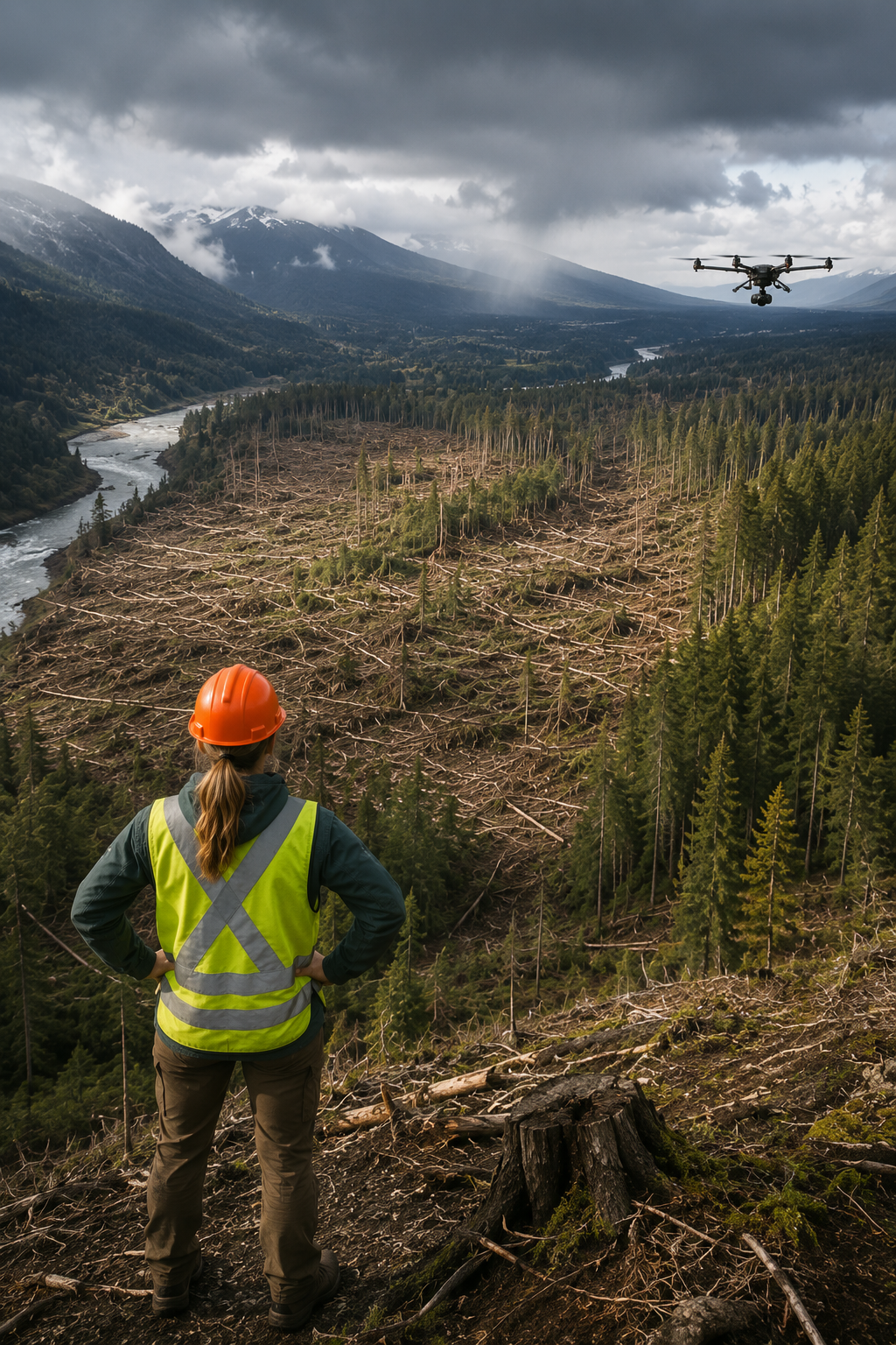
When These Challenges Overlap
The strongest case for drone-AI analytics often occurs when several challenges are present at the same time.
A project may involve a large remote area, outdated imagery, limited field capacity, variable stand conditions, and a treatment decision that must be made quickly. In those situations, broader aerial intelligence can help teams focus professional fieldwork, improve documentation, and make more informed operational decisions.
The objective is not to introduce drone-AI into every workflow. It is to identify where current methods are becoming difficult to scale, expensive to repeat, or too limited to support the decision being made.
Explore the Applications
See how Canopy Dynamix supports forestry, vegetation-management, utility-corridor, and land-monitoring workflows.