
Use Cases
Forestry-first drone AI for vegetation, utilities, and land decisions.
Forestry Use Cases
Canopy Dynamix helps forestry teams evaluate AI-powered aerial analytics for practical operational problems, from harvest documentation and regeneration monitoring to damage assessment and stocking surveys.
Instead of relying only on field checks, sample plots, or disconnected imagery, drone-AI workflows can help turn aerial data into maps, measurements, reports, and GIS-ready outputs that support better planning, clearer documentation, and more confident decisions.

Post-Harvest Verification & Compliance Documentation
After harvesting is complete, forestry teams need a clear record of what happened on the ground before vegetation regrows or site conditions change.
Drone imagery and AI-assisted analysis can help create a current, georeferenced record of the harvested area, including actual harvest boundaries, retained features, mapped buffer zones, and visible site conditions near wetlands and watercourses. These outputs can support internal reporting, certification workflows, compliance review, planning records, and follow-up inspections.
Best fit for: forest managers, tenure holders, compliance teams, and operations leads who need defensible post-harvest documentation.
Common outputs may include:
Current orthomosaic imagery
Planned-versus-actual harvest boundary review
Buffer and retained-feature documentation
GIS-ready maps and exports
Time-stamped visual records for reporting and planning
Operational ROI
For suitable 25 to 50 hectare harvest blocks, a drone-assisted verification workflow may reduce combined field, travel, documentation, and GIS labour by approximately 30% to 50%.
Where current aerial documentation prevents a repeat site visit or allows field crews to focus only on potential exceptions, total post-harvest closeout costs can be reduced by approximately 20% to 40%.
Potential savings may include:
6 to 14 fewer person-hours per block
One avoided return trip or repeat mobilization
Faster planned-versus-actual boundary review
Reduced manual GIS compilation
Earlier identification of visible discrepancies
Reuse of the same dataset for regeneration planning and future monitoring
Actual savings depend on block size, accessibility, operational complexity, flight conditions, reporting requirements, and the amount of field verification still required.

Young Stand Density & Tending Priority Mapping
Young stands can be difficult and time-consuming to assess through field sampling alone. Drone-AI analytics can help forestry teams understand tree density, height variation, spacing patterns, and treatment priorities across broader areas.
This supports better decisions around thinning, spacing, pre-commercial tending, and contractor planning, especially where stand conditions vary and teams need to identify which areas appear to require treatment and which may not.
Best fit for: silviculture managers, forestry planners, and contractors involved in young stand tending, spacing, or treatment prioritization.
Common outputs may include:
Tree detection and density mapping
Tree height and spatial variation analysis
Treatment-priority zones
Contractor-ready work maps
Field-verification and prescription-planning support
Operational ROI
Young-stand assessments commonly rely on sample plots and field reconnaissance to estimate density and determine where tending may be required.
On suitable projects, drone-assisted density mapping may reduce pre-treatment field assessment time by approximately 25% to 50%, while providing a broader view of density and height variation across the stand.
The larger financial return may come from reducing unnecessary treatment acreage. Where thinning or spacing contracts are priced by area, every hectare removed from the treatment scope directly reduces contractor costs.
For example:
A 5% reduction in treated area can reduce area-based treatment spending by approximately 5%
A 10% reduction can reduce area-based treatment spending by approximately 10%
A 15% reduction can reduce area-based treatment spending by approximately 15%
Additional value may include fewer reconnaissance visits, clearer contractor work maps, more accurate treatment boundaries, and fewer changes after work begins.
Actual savings depend on stand variability, accessibility, treatment costs, prescription requirements, imagery quality, and the amount of field verification required.
Damage & Event Assessment
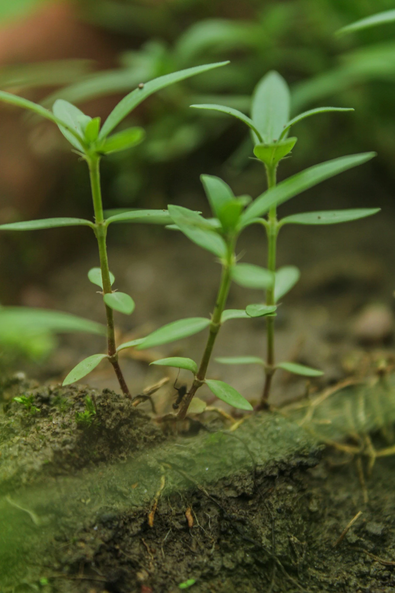
Storms, wildfire, drought, pest outbreaks, and windthrow can create urgent information gaps. Forestry teams need to understand where visible damage is concentrated, how conditions vary across the affected area, and where field crews, salvage review, or follow-up work should be prioritized.
Drone imagery and AI-assisted analysis can provide current spatial intelligence following an event, supporting damage documentation, salvage and access planning, cleanup prioritization, insurance documentation, and operational decision-making.
Best fit for: operations teams, forest managers, risk managers, and landowners responding to storm, wildfire, pest, drought, or windthrow damage.
Common outputs may include:
Damage-extent mapping
Visible damage-severity zones
Canopy gap and windthrow identification
Before-and-after change mapping, where baseline imagery is available
Priority areas for field review, salvage, or follow-up action
Initial access and site-hazard overview
Operational ROI
Following a major storm, wildfire, or windthrow event, forestry teams may spend several crew-days locating damage, assessing access, and building an initial operational picture.
For suitable 100 to 250 hectare sites, a drone-assisted workflow may reduce broad initial reconnaissance time by approximately 50% to 80% and reduce initial assessment costs by approximately 25% to 60%.
Where drone capture replaces or shortens helicopter reconnaissance, aerial assessment costs may be reduced by approximately 40% to 70%.
Potential value may include:
Reducing initial assessment from several crew-days to one flight day
Delivering mapped damage information within one to three days
Limiting personnel exposure to unstable or difficult terrain
Directing field crews toward the highest-priority areas
Improving access, salvage, and cleanup planning
Identifying visible damage before timber condition or site access deteriorates
Providing mapped evidence for insurers, contractors, and internal decision-makers
Actual savings depend on the affected area, accessibility, damage type, sensor requirements, flight restrictions, processing needs, and the amount of professional field verification required.

Reforestation Monitoring & Free-to-Grow Screening
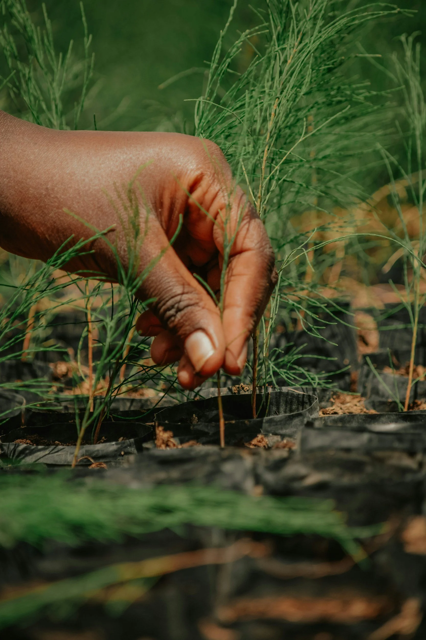
Tracking regeneration success across large or variable areas is resource-intensive. Drone-AI analytics can help forestry teams map visible seedlings, identify stocking patterns and regeneration gaps, assess visible competition, and screen for areas that may not be progressing toward free-to-grow objectives.
This supports better planning for brushing, fill planting, follow-up surveys, and reporting obligations by helping teams identify where field attention and treatment may be most valuable.
Best fit for: silviculture teams, reforestation planners, and tenure holders managing regeneration obligations or preparing for free-to-grow surveys.
Common outputs may include:
Visible seedling detection and density mapping
Regeneration gap and understocked-area identification
Competing vegetation screening
Change mapping between monitoring periods
Free-to-grow screening indicators
Priority areas for field review, brushing, or fill planting
Operational ROI
Regeneration and free-to-grow monitoring commonly require field plots, site reconnaissance, professional assessment, and repeated reporting over several years.
For suitable regeneration blocks, a drone-assisted monitoring workflow may reduce total field, travel, and assessment labour by approximately 30% to 50% by helping teams identify likely stocking gaps, competition, and other potential exceptions before field crews enter the block.
For a 100-hectare project, this may represent:
16 to 28 fewer person-hours
Approximately $1,800 to $3,800 in gross labour and mobilization value
Fewer broad reconnaissance visits
More targeted placement of field plots and follow-up inspections
Earlier identification of areas requiring brushing or fill planting
Reduced treatment spending where mapping confirms that only part of the block requires intervention
A repeatable dataset that can support monitoring across several seasons or years
Where brushing or fill-planting contracts are priced by area, a 10% reduction in confirmed treatment acreage can reduce the area-based treatment spend by approximately 10%.
These estimates do not include the cost of drone capture and analysis. Actual savings depend on block size, accessibility, vegetation cover, seedling visibility, treatment costs, survey requirements, and the amount of professional field verification required.
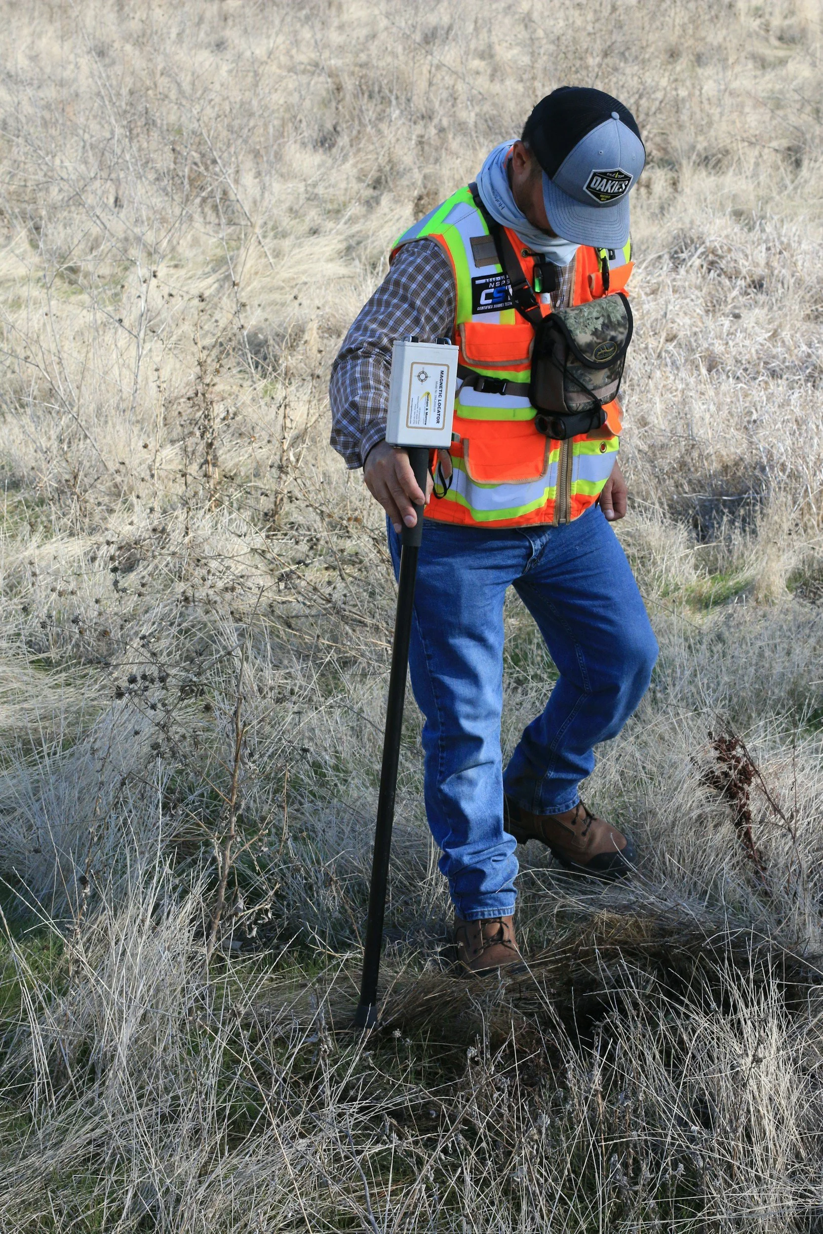
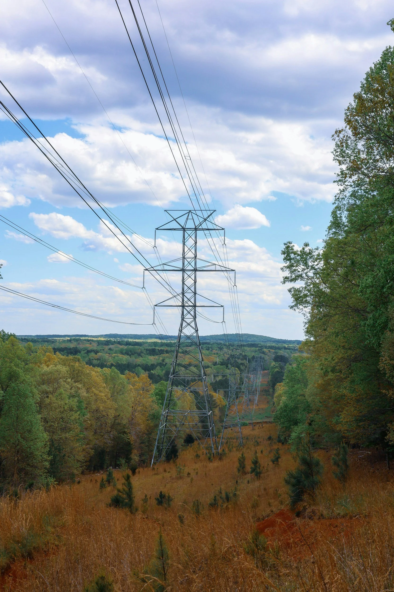
Vegetation Management Along Utility Corridors
Utility corridors require ongoing vegetation monitoring and maintenance to preserve required clearances, reduce outage and fire risk, maintain access, and meet operational or regulatory requirements.
Corridor monitoring commonly relies on ground patrols, aerial inspections, contractor observations, and periodic vegetation inventories. Across long or difficult-to-access routes, these workflows can be costly to repeat and may produce observations that are difficult to compare consistently between inspection cycles.
Drone-AI analytics can help utilities and contractors map visible vegetation conditions, screen for potential encroachment, prioritize treatment areas, and create repeatable corridor records for planning and follow-up verification.
Best fit for: utilities, right-of-way managers, vegetation-management contractors, and infrastructure operators responsible for transmission, distribution, or pipeline corridors.
Common outputs may include:
Visible vegetation encroachment mapping
Vegetation proximity and clearance-support review
Hazard-tree and treatment-priority screening
Corridor and access-condition documentation
Contractor-ready work maps
Change detection between inspection cycles
Before-and-after treatment verification
Operational ROI
Vegetation-management programs commonly rely on recurring aerial or ground patrols, field verification, GIS updates, contractor work packages, and post-treatment inspections.
For suitable utility corridors, a drone-assisted monitoring workflow may provide:
25% to 50% lower routine inspection, documentation, and GIS compilation costs
40% to 70% fewer broad field-verification hours, where crews can be directed primarily to flagged locations
5% to 15% lower area-based treatment spending, where detailed mapping confirms that portions of a broadly defined work package do not yet require treatment
Faster preparation of contractor work maps
Reduced repeat mobilization caused by incomplete or inconsistent information
More efficient before-and-after treatment verification
A repeatable spatial record for comparing vegetation change between inspection cycles
For example, reducing a 100-kilometre treatment scope by 10 kilometres would reduce the length-based portion of the contractor spend by approximately 10%, before accounting for the cost of aerial capture and analysis.
Actual savings depend on corridor accessibility, flight regulations, inspection frequency, sensor requirements, vegetation density, existing patrol methods, contractor pricing, and the amount of field verification required.
Pre-Harvest Planning & Operational Layout Support
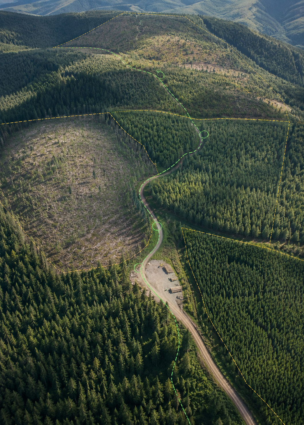
Before harvesting begins, planning teams need current information about stand conditions, access, visible terrain, and known operational constraints. Drone imagery and AI-assisted analysis can help update site understanding and identify areas requiring closer review before detailed field layout begins.
This can support cutblock boundary refinement, road and landing planning, access review, visible-feature screening, and pre-harvest reconnaissance where existing imagery is limited or outdated.
Best fit for: harvest planners, operations managers, and forestry consultants involved in pre-harvest layout, access planning, or operational preparation.
Common outputs may include:
High-resolution pre-harvest orthomosaic imagery
Canopy and visible surface-condition analysis
Proposed boundary and access-route review
Mapping support for known or visible sensitive features
Stand-condition and operational-constraint screening
Planning-support maps and GIS-ready exports
Operational ROI
Pre-harvest planning commonly requires desktop review, field reconnaissance, GPS layout, GIS revision, and additional site visits when existing imagery does not reflect current conditions.
For suitable 100 to 200 hectare planning areas, a drone-assisted workflow may reduce pre-harvest reconnaissance, layout preparation, and GIS labour by approximately 20% to 35%.
This may represent:
16 to 32 fewer person-hours per block
One to two field crew-days saved
One avoided or shortened return mobilization
Approximately $2,000 to $5,000 in gross labour, travel, and mobilization value before the cost of aerial capture and analysis
The potentially larger return comes from identifying access, boundary, landing, or operational concerns before roads, machinery, and contractors are mobilized. Avoiding even one late layout revision can outweigh the cost of acquiring current aerial information.
Actual savings depend on block size, canopy cover, terrain, accessibility, available LiDAR or terrain data, planning requirements, flight conditions, and the amount of professional field verification required.
Sapling Monitoring & Stocking Survey Support
Regeneration monitoring and stocking surveys are essential, but field-based assessments can be labour-intensive and difficult to scale across large or variable areas.
Drone-AI analytics can help detect visible saplings, map density patterns, identify potential stocking gaps, and support repeatable monitoring during the early stages of stand establishment. This gives forestry teams a broader spatial view before directing field crews to areas that require professional verification or follow-up action.
Best fit for: silviculture teams, regeneration programs, forest managers, and organizations responsible for planting success, stocking, or reforestation obligations.
Common outputs may include:
Visible sapling detection and counting
Density and stocking-pattern maps
Potential regeneration-gap identification
Digital sample plot support
Priority areas for field verification or fill planting
Repeatable monitoring across seasons or years
Operational ROI
Stocking assessments commonly require field crews to establish and evaluate sample plots across the block, then compile the results into stocking and treatment recommendations.
For suitable 50 to 100 hectare regeneration blocks, drone-assisted sapling monitoring may reduce total field, travel, counting, and assessment labour by approximately 25% to 45%.
The sapling-counting and digital sample-plot component alone may be completed up to three times faster than conventional manual counting, representing an approximate 67% reduction in time for that specific task.
For a 100-hectare project, the overall operational value may include:
20 to 40 fewer person-hours
One to three field crew-days saved or redirected
Approximately $2,200 to $5,000 in gross labour, travel, and mobilization value before aerial-analysis costs
Faster identification of potential stocking gaps
More targeted field-plot placement and follow-up inspections
Better estimates of where fill planting may be required
Repeatable monitoring without rebuilding the spatial record during every inspection cycle
Actual savings depend on block size, access, seedling visibility, species, competing vegetation, flight conditions, survey requirements, and the amount of professional field verification required.