
Sapling Monitoring and Stocking Survey Support
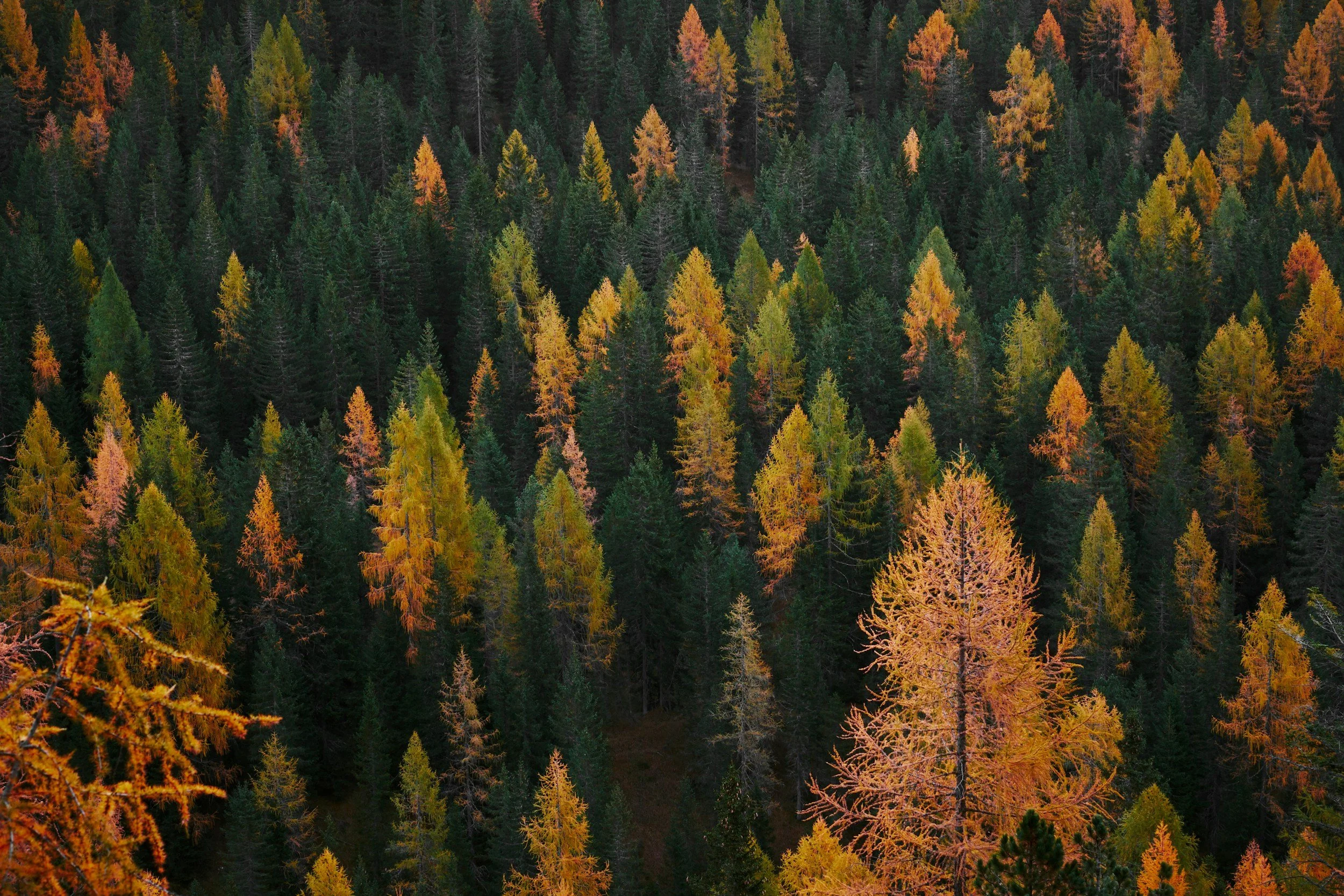
Early regeneration monitoring often requires crews to travel between sample plots, count visible seedlings, identify gaps, and compile the results into stocking and follow-up recommendations.
Drone-AI analytics can accelerate counting and provide a broader spatial view of visible sapling density and regeneration patterns.
Illustrative 100-Hectare Scenario
Conventional Field-Led Workflow
Planning, plot work, counting, and reporting: 80 hours
Labour cost: $6,800
Travel and mobilization: $1,000
Estimated total: $7,800
Drone-Assisted Workflow
Targeted field verification and reporting: 48 hours
Internal labour cost: $4,080
Drone capture and analytical delivery: $1,600
Reduced travel and mobilization: $500
Estimated total: $6,180
Illustrative Result
Estimated cost reduction: $1,620
Estimated percentage reduction: 21%
Labour redirected: 32 hours
One to four field crew-days potentially saved or reassigned
Primary ROI Drivers
Faster visible-sapling counting
Reduced time travelling between routine plot locations
Earlier identification of regeneration gaps
More targeted field-plot placement
Better estimates of where fill planting may be required
Repeatable monitoring across seasons or years
Less manual imagery review and data compilation
The workflow supports stocking surveys and professional decision-making. Detection performance depends on seedling size, species, season, competing vegetation, imagery quality, and visibility from above.
What Makes the ROI Stronger?
Drone-AI analytics generally produce the strongest return where one or more of the following conditions apply:
The project covers a large or highly variable area
Access is remote, difficult, or expensive
Field personnel are spending significant time searching for exceptions
Existing imagery is outdated or incomplete
Contractor work is priced by hectare, kilometre, or treatment area
Repeat visits are common
The same dataset can support several operational needs
Decisions are time-sensitive
Ground reconnaissance presents safety concerns
Spatial documentation is needed for reporting, planning, or contractor review
When the ROI May Be Limited
A drone-assisted workflow may offer limited financial benefit when:
The site is small and easily accessible
Existing information is current and complete
Full field inspection is mandatory regardless of aerial findings
The imagery will only be used once
Canopy cover prevents observation of the relevant features
Weather, airspace, or terrain makes capture impractical
Specialized sensors or professional assessments are still required
The organization lacks a process for using GIS-ready results
Evaluate Your Own Workflow
The most useful ROI calculation begins with the customer’s existing process.
Canopy Dynamics can help evaluate:
Current field and travel hours
Number of site mobilizations
Existing inspection and reporting costs
Contractor pricing by hectare or kilometre
Areas where treatment is being broadly prescribed
Costs associated with delayed information or rework
Whether one aerial dataset can support multiple operational decisions
The objective is not to force drone-AI into every project. It is to identify the workflows where broader aerial intelligence can produce a measurable operational return.